For Cities
A clearer understandingof how streetrisk emerges
Helping cities make streets safer with better visibility. We help cities see where safety risk is emerging, understand the patterns behind it, and measure whether interventions are working.

Built for the safety questions cities are already trying to answer.
From network prioritization to treatment validation, we support common city safety and planning efforts with analysis tailored to real project needs.

High-injury network prioritization
Identify where deeper intervention is warranted across corridors and intersections.

School zone and vulnerable road user safety
Understand where walking and biking conditions create elevated risk.
Corridor and intersection safety analysis
Examine how speeds, conflicts, and movements vary across real street conditions.
Before-and-after project validation
Measure whether roadway changes are improving conditions after implementation.
Where this fits in real roadway projects.
Cities need answers tied to the projects they care about. From daylighting to full curb redesigns, Cumulant helps cities see how risk is emerging in real street conditions.
Project type
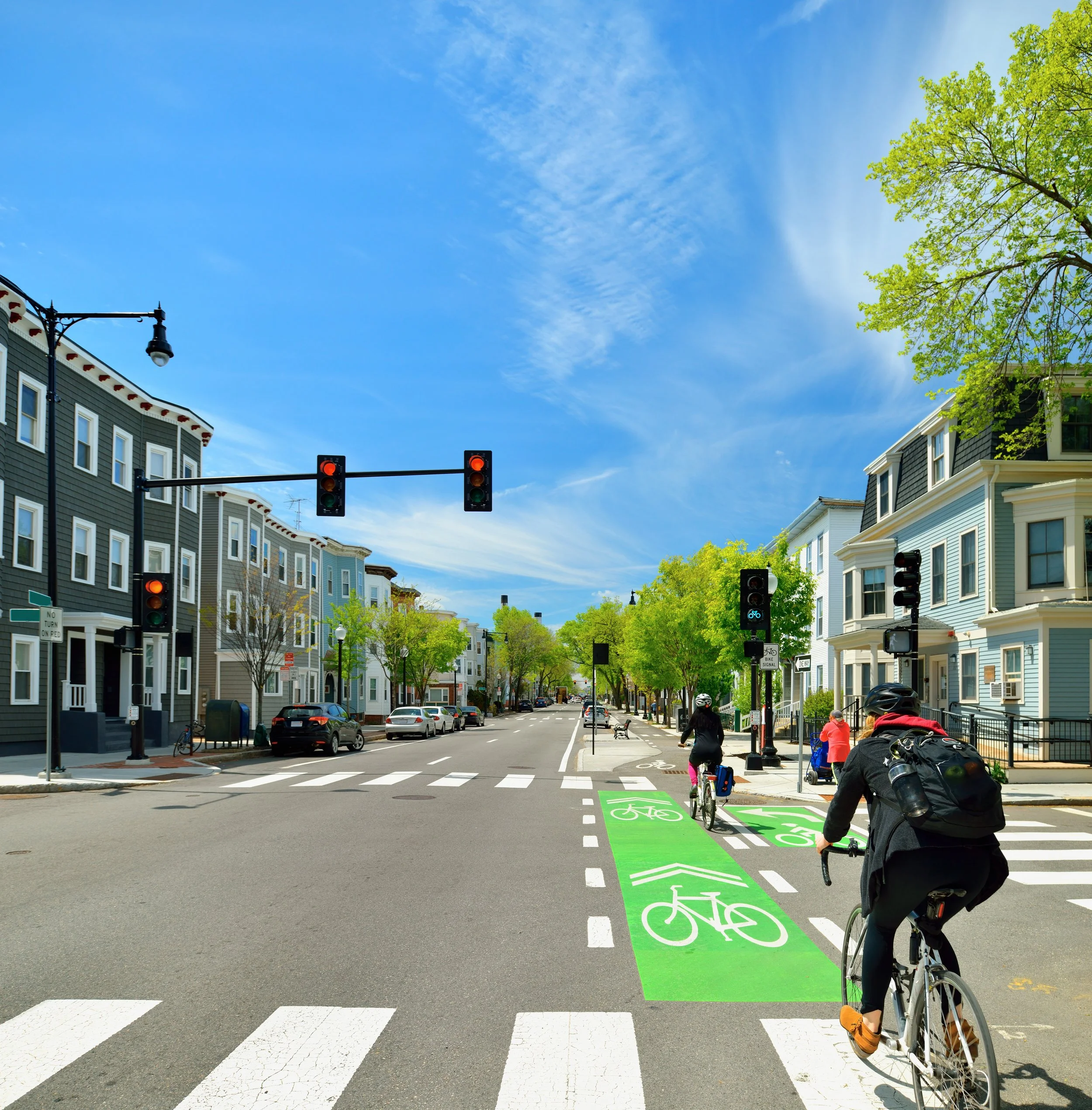
Bike lane upgrades
Understand how rider exposure and turning interactions are changing along upgraded corridors.
Key metrics:
Project type
Daylighting
Understand how visibility and turning interactions are changing near conflict-prone corners.
Key metrics:
Project type
Traffic calming
Understand how vehicle speeds and conflict patterns are changing along treated streets.
Key metrics:
Project type
Bus lanes and curb activity
Understand how curb activity and lane behavior are changing around transit-priority streets.
Key metrics:
Practical to deploy. Safe to engage.
We are focused on helping cities gain better safety insight without creating unnecessary operational burden or compromising public trust. We support flexible deployment models, privacy-conscious processing, and secure handling of analytical outputs.

Flexible deployment
Use city-owned sensors, our deployments, or a mix depending on the project.

Privacy-first approach
Support street safety analysis without relying on public-facing surveillance or unnecessary data exposure.
Operational fit
Designed for real planning and evaluation workflows, from targeted corridor analysis to before-and-after studies.
Let’s talk through a priority corridor, network, or safety project.
We are looking to work with early city partners on real safety questions — from identifying where risk is emerging to evaluating whether treatments are working. If that aligns with your current priorities, we should talk.