Built for the safety questions cities are already trying to answer.
From network prioritization to treatment validation, we support common city safety and planning efforts with analysis tailored to real project needs.

High-injury network prioritization
Identify where deeper intervention is warranted across corridors and intersections.

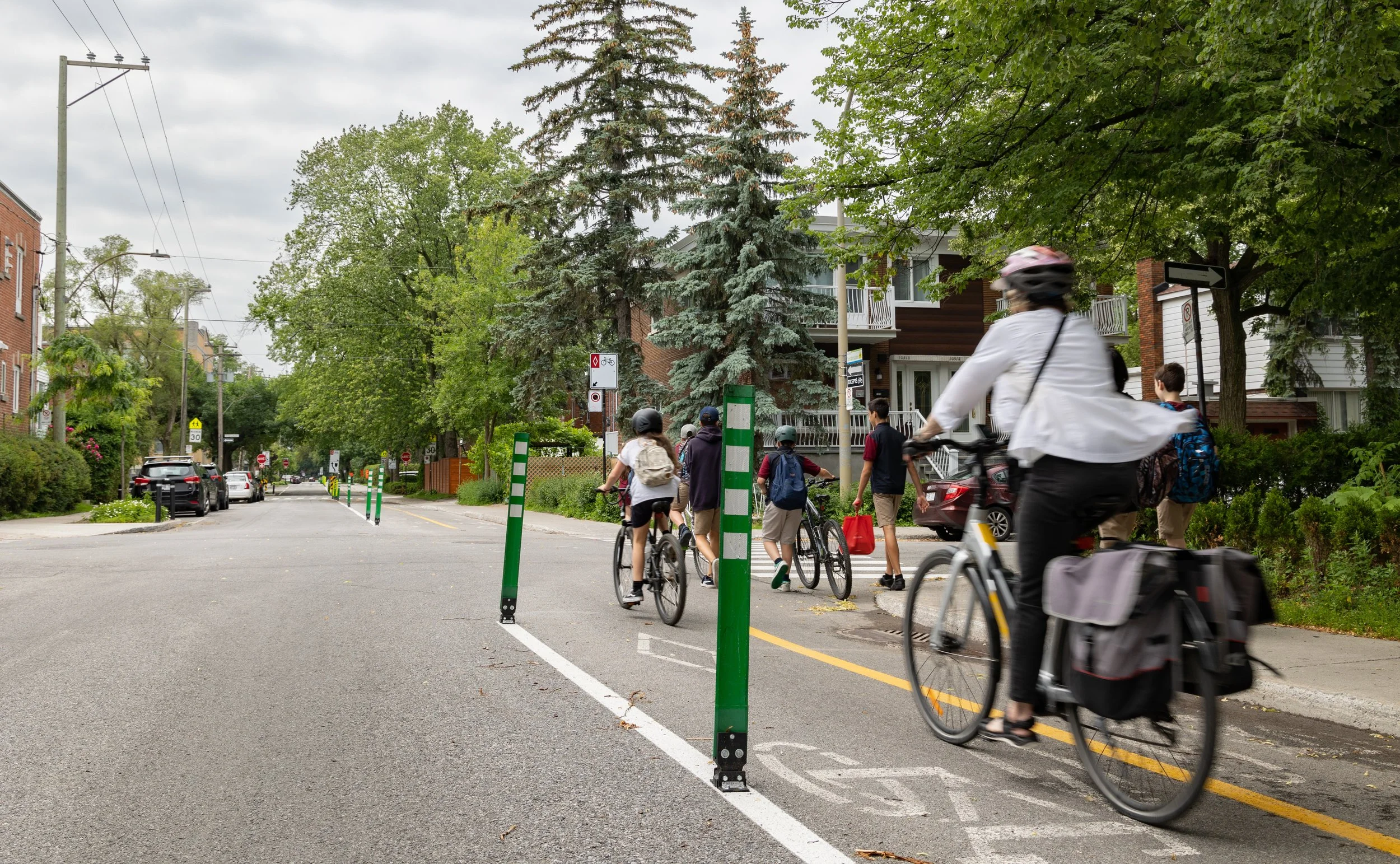
School zone and vulnerable road user safety
Understand where walking and biking conditions create elevated risk.
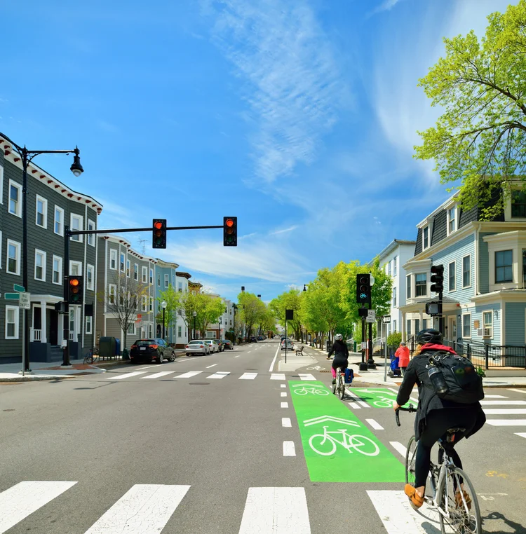
Corridor and intersection safety analysis
Examine how speeds, conflicts, and movements vary across real street conditions.
Before-and-after project validation
Measure whether roadway changes are improving conditions after implementation.
How It Works
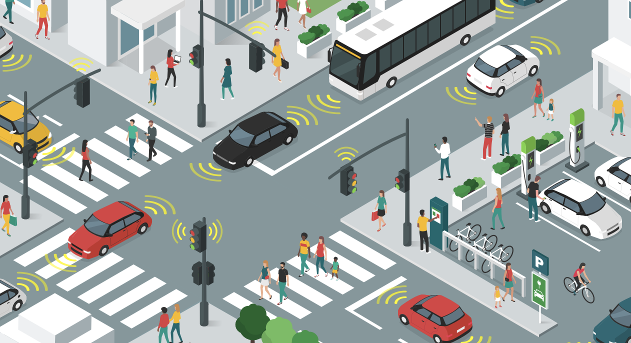
Existing Hardware Automatically Captures Traffic Data
Roadside sensors continuously capture real-world traffic activity, including vehicle movement, pedestrian activity, and multimodal interactions - either through Cumulant hardware or existing infrastructure feeds.
Physical Intelligence Interprets Multimodal Interactions
Cumulant’s AI models process raw sensor feeds in real time, identifying trajectories, conflicts, and safety-relevant behaviors while organizing the data in a centralized project dashboard.
Data Becomes Safety Intelligence
The platform transforms observations into clear analytics, visualizations, and reports that help cities identify risk, evaluate treatments, and understand safety performance over time.
Interested in our complimentary pilots?
Let’s talk through a priority corridor, network. or a specific safety project.
Our Vision *Zero
Identify and reduce preventable crashes.
-
We offer data that is unquestionable the ground truth. No prediction models.
-
Cities deserve solutions that go beyond the surface requirement. Cumulant offers products developed to beat all requirements.
-
We believe that there is no price tag on safety. Municipalities are offered our AI-Powered sensors at ZERO cost.